
Buncombe ZIP Code Coverage
The current Buncombe GIS legend lists 16 ZIP polygons used in the county map. Each is a postal-area reference, not a municipal boundary or a census of people. The area names below come from county precinct, postal, and local address references. A named post office or postal label can cover land beyond that community, so verify a particular delivery address before drawing a record-search conclusion.
| ZIP code | Local area shown in sources | Postal label | Buncombe record note |
|---|---|---|---|
| 28701 | Alexander and rural northwest Buncombe | Alexander | Postal area can extend beyond a municipal limit |
| 28704 | Arden, Avery Creek, and south Buncombe | Arden | City line and postal city can differ |
| 28709 | Barnardsville and north Buncombe | Barnardsville | County GIS polygon and local precinct references |
| 28711 | Black Mountain and east Buncombe | Black Mountain | Not identical to the town boundary |
| 28715 | Candler, Enka, and west Buncombe | Candler | Used in local precinct and address records |
| 28730 | Fairview | Fairview | Rural postal area |
| 28732 | Fletcher and southern Buncombe | Fletcher | Regional municipal and postal geography differ |
| 28748 | Leicester | Leicester | Local precinct and address references |
| 28753 | Marshall and Sandy Mush edge references | Marshall | Verify because adjacent-county routes occur |
| 28778 | Swannanoa | Swannanoa | East-of-Asheville postal area |
| 28787 | Weaverville and north Buncombe | Weaverville | Broader than the town boundary |
| 28801 | Central Asheville and downtown | Asheville | Postal line is not the city line |
| 28803 | South and east Asheville, Biltmore area | Asheville / Asheville London Road | Includes non-ward postal routing |
| 28804 | North Asheville and Merrimon area | Asheville | County sources include the north area |
| 28805 | East Asheville, Haw Creek, and Kenilworth vicinity | Asheville | Local advisory geography calls it East |
| 28806 | West Asheville, Enka, Patton, and west routing | Asheville | Can meet Candler-related routes |
County government mail can use 28802, and 28810 appears in Asheville processing references, but the GIS legend did not list either as an ordinary residential ZIP polygon. Nearby regional codes such as 28728 and 28757 were likewise not added to the complete county table. A ZIP code directory should not expand the 16 mapped polygons without an address-specific USPS result.
Buncombe ZIP Polygons Cross Lines
Buncombe County includes Asheville, Biltmore Forest, Black Mountain, Montreat, Weaverville, Woodfin, and rural communities. Buncomap puts county boundary, incorporated areas, townships, ETJ, street centerline, and ZIP layers together because those are separate kinds of geography. A parcel can have an Asheville postal address while sitting outside Asheville, or a community post-office name while it falls within a different municipal, fire, school, or zoning district.
That distinction shapes the correct office route. Use Planning and Development's E-911 addressing and road-name service for official address creation or road-name questions. Use Tax and Land Records for a PIN and parcel relationship. Use USPS for delivery ZIP verification. A postal label is useful search context, but it does not replace the situs address, legal description, or incorporated-area layer.
Postal boundary check. A ZIP code is routing geography, while a municipality is legal jurisdiction. Check both before choosing a city or county record source.
Buncombe Asheville ZIP Codes
The 28801 through 28806 series supplies a local shorthand for central, south, north, east, and west Asheville, but the shorthand is not a city-boundary rule. The city's Neighborhood Advisory Committee uses 28801 for Central, 28803 or 28704 for South, 28804 for North, 28805 for East, and 28806 or 28728 for West representation. Its members may live in Asheville or the ETJ, which illustrates why a city ZIP is not a clean legal boundary.
Use the postal ZIP to begin an address search, then read the map's incorporated-area layer and the parcel situs. An address in 28803 can point to Biltmore-area or south county routing. An address associated with 28806 can involve West Asheville, Enka, Patton, or west county routes. The records remain address and parcel specific.
Buncombe Rural ZIP Codes
The 287-series in the Buncombe ZIP code directory provides important local search alternatives to an Asheville-only query. Arden 28704, Barnardsville 28709, Black Mountain 28711, Candler 28715, Fairview 28730, Fletcher 28732, Leicester 28748, Swannanoa 28778, Weaverville 28787, and the Alexander and Marshall-area polygons all appear in county mapping or precinct sources. A search that only enters Asheville may miss a record filed under the postal community shown on the parcel.
Test the address with the postal community, the street name, and the PIN. If results disagree, use Buncomap layers to see whether the parcel is in an incorporated area, an ETJ, or unincorporated Buncombe County. The county precinct references include Candler 28787 in one local polling context, another reminder that a ZIP label can have broader local use than a town name suggests.
Note: Keep the postal community exactly as returned by the selected record because a nearby locality name can change the result set.
Verify One Buncombe ZIP Code
USPS Look Up a ZIP Code is the delivery check for a particular street address or a city and state query. Use it before treating a ZIP from a directory, tax card, or handwritten note as current. USPS also warns that historical ZIP information may be discontinued, which is why a past postal label should not be copied forward without verification.
| USPS search route | Confirmed use | Best Buncombe use |
|---|---|---|
| Street-address lookup | Verify the delivery ZIP for one address | Confirm an address before a parcel or street search |
| City and state lookup | Find ZIPs associated with a postal city | Start with an Asheville or community label, then narrow |
| Post-office by ZIP information | Review current postal-reference information | Do not treat it as a municipal-boundary source |
Use the official USPS lookup as the delivery-verification step, rather than using a county map alone for a mailing decision.
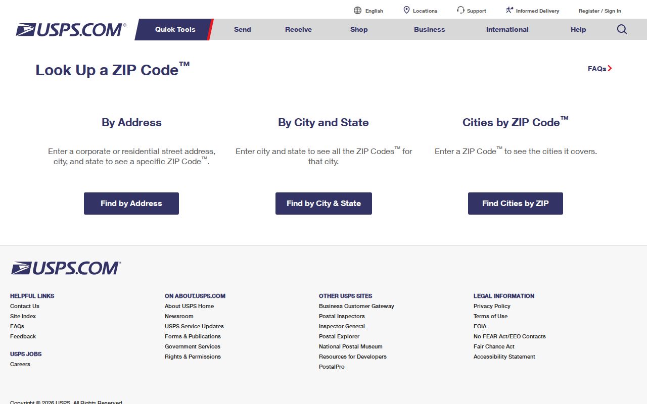
The USPS result helps confirm the postal piece of an address. Follow it with the county parcel and jurisdiction sources when the question involves a property, city service, or recorded document.
Buncombe ZIP Code Map Layers
Buncomap has a ZIP Code layer and an address ZIP attribute, while its primary lookup keys are PINN, street name, and owner name. It also allows deed or plat book and page searching, parcel selection, map reports, and a query builder. The map is the right tool for seeing a ZIP polygon with streets, parcels, incorporated areas, ETJ, and districts. It is not a dedicated ZIP-only resident search.
The county's Maps and Data resources connect local mapping and voter-data context. Use the map for geographic orientation, then open an address result or PIN for a specific record. GIS data refreshes on weekday mornings and is not survey grade, so recorded deeds and surveys remain the primary source for critical boundary facts.
Buncombe Maps and Data is the source shown below, a local entry point for map and voter-data context.
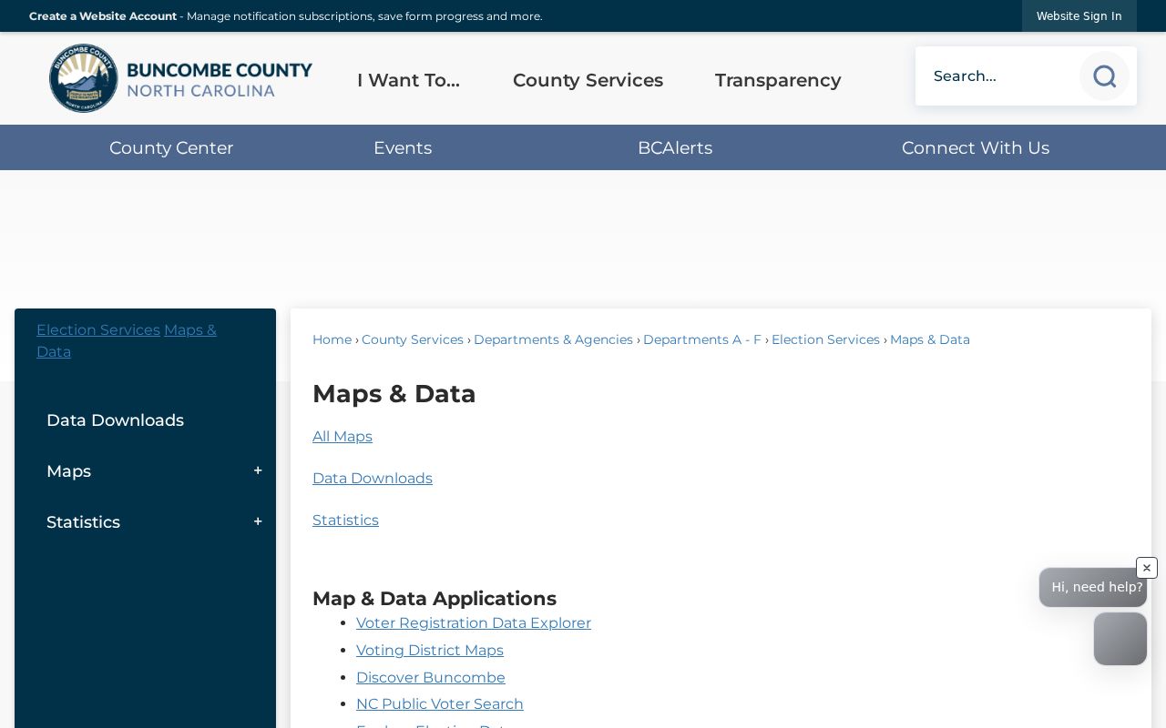
The map resource complements the ZIP layer but does not turn a postal polygon into a list of current people. Use the selected parcel and source office for a record-specific question.
Search a Buncombe ZIP Code
A ZIP can narrow the geography, yet Buncombe's official public portals do not present a simple ZIP-only resident roll. Tax Lookup accepts All Criteria, Owner Name, Address, Parcel ID, and Bill Number. A ZIP can be included in an address phrase, but the inspected form did not show a dedicated ZIP filter. Buncomap can display the ZIP layer and an address attribute, but its confirmed search keys are PINN, street name, and owner name.
- Use USPS to verify the delivery ZIP for the precise street address or postal-city query.
- Search Tax Lookup by the address phrase, including the ZIP when it helps narrow similar street names. Review all returned pages and save the PIN.
- Open the PIN or address in Buncomap, turn on ZIP Code and Incorporated Areas, and confirm the postal and jurisdiction context.
- Use the situs, owner, or recorded deed reference for the next public record. For the street-by-street chain, use the Buncombe street directory.
The statewide voter profile has a county selector, not a ZIP selector. North Carolina law allows requested voter-file categories such as county, precinct, district, party, age, race, registration date, and voter history, but the statute does not promise a ZIP filter. Postal geography and election geography should remain separate in a Buncombe ZIP code search.
Buncombe ZIP Code Search Fields
Tax Lookup is ZIP-capable only through its address phrase, so its real field limits matter. The result page may display an owner, situs, PIN, amount due, thumbnail, parcel link, pagination, and export control. The county cautions that the data is not certification of taxes paid or due. A listed owner or mailing address is not a statement that the person currently occupies the situs.
| Buncombe portal | Confirmed field or tool | ZIP-related use | Limit |
|---|---|---|---|
| Tax Lookup | Address search phrase | Include ZIP with a street address | No dedicated ZIP filter shown |
| Tax Lookup | Search criteria | Address, owner, PIN, or bill route | Not a ZIP-only resident roll |
| Buncomap | ZIP Code layer | View postal geography with parcels | Map layer is not a legal boundary |
| Buncomap | PINN, street, owner search | Open a selected address in context | ZIP is not a primary search key |
| NC Voter Search | County selector | Narrow a named person to Buncombe | No ZIP selector shown |
Precinct maps and the county voter-data resources provide district context, but they are not postal boundary tools. Start a ZIP inquiry with USPS and the county GIS layer, then move to the relevant address record.
Buncombe ZIP Codes and City Lines
Buncombe ZIP code boundaries and city limits answer different questions. Use the ZIP for mail routing, the incorporated-area or ETJ layer for jurisdiction, the situs for the physical parcel, and the legal description for recorded land identity. A mailing address can be different again, especially for an owner who receives correspondence away from the property. Combining those labels without naming their source creates avoidable mismatches.
Postal city labels also affect archives and historical directories. Early Asheville addresses may need a street-only search because house numbers changed as new houses were built, particularly before 1930. The 1883-84 directory said many streets were unnamed. For historical work, bridge a failed number with neighboring entries, maps or plats, and legal descriptions instead of relying on today's ZIP code.
Note: ZIP geography is useful for routing and map context, but parcel and recorded-document identifiers control property research.
Buncombe ZIP Code Terms
Postal terms are easier to use when their scope is plain. They describe delivery organization, not a roster of occupants or a property title. These definitions keep a Buncombe ZIP code directory search tied to the right kind of record.
- ZIP code
- A USPS delivery-routing area. It can cross a city line or include more than one community.
- ZIP+4
- An added four digits that refine delivery routing within a ZIP code. It does not establish a parcel boundary.
- PO box ZIP
- A ZIP used for post-office box delivery. It is not evidence of a physical residence or parcel location.
- Unique ZIP
- A ZIP assigned to a single organization or large receiver. The county GIS legend should not be expanded without a verified source.
- Carrier route
- A postal delivery sequence within an area. It is a mail-routing concept, not a city or neighborhood boundary.
Use those distinctions when saving results from USPS, Buncomap, Tax Lookup, or a directory volume. They make it clearer why two records can share an Asheville label yet refer to different jurisdictions or why an older address needs parcel and deed context.