
Buncombe Neighbors Around One Block
Public information about the nearby parcels is the starting point. Buncomap shows the parcel and address layers around a subject address, then links map results to a property card, deed, or plat reference. The Tax Lookup provides a current tax snapshot for a PIN or address phrase. A map parcel may relate to a trust, business, estate, or owner who receives tax mail somewhere else. It is not a count of occupants, a survey, or permission to contact anyone.
| Source | What It Shows About a Block | Access |
|---|---|---|
| Buncomap parcel and address layers | Adjacent parcels, PINs, situs, road geometry, ZIP, and jurisdiction layers | Public map with Identify, Select Multiple Features, and Buffer |
| Buncombe Tax Lookup | Current tax owner, parcel result, situs, bill category, and parcel link | Address phrase or PIN search with pagination |
| Register of Deeds deed and plat index | Ownership sequence, lot relationship, legal description, and book or page | Owner-name eSearch, counter, or copy request |
| NC voter profile | A named registered voter's public profile, precinct, and status | Individual search, not a block-browse tool |
| Selective voter file | Lawful categories of voter data by requested area or category | Written request at actual preparation cost |
| City permit and neighborhood resources | Public project activity and registered association contacts | Citizen Access or Neighborhood Services map |
Owners and occupants are different categories. Tax records connect a person or entity to a parcel for assessment. A voter profile is an individual record, and protected addresses may be withheld. The official sources are useful because they state what they do show. They are less useful when treated as proof of every household on a block.
Note: Keep the PIN, the source, and the date for each parcel so a later map refresh does not blur one result into another.
Buncombe Neighbors in Buncomap
Buncomap has the local tools needed to work outward from one address. Search by PINN, street name, or owner name, then select the subject parcel. Turn on the Property, Address, and Street Centerline layers before deciding which parcels are nearby. The map also offers ZIP Code, incorporated-area, county-boundary, township, zoning, school, fire-district, flood, and other layers. Those overlays can explain why nearby Buncombe parcels fall into different postal, municipal, or service areas.
The official help describes Identify, a click-and-drag Select Multiple Features tool, and a Buffer dialog. Select Multiple Features is useful for one side of a short block. Buffer is useful for a consistent visual radius. Neither creates a legal boundary. The county says its GIS data refreshes at 6 a.m. on weekdays and is not survey grade. Use a modest visual ring to make a PIN list, then inspect the parcel records one at a time.
This is a practical local research feature rather than a shortcut to a resident roster. A parcel across a road may be close on the screen but not legally adjacent. A shared driveway, condominium plan, subdivision lot, or recombination can also make the map look simpler than the land records.
Map tip. Use Buncomap's Buffer or Select Multiple Features to define the visual area, then verify each selected parcel by PIN.
Mapping Buncombe Neighbors by Parcel
The adjacent-parcel workflow separates the map view from ownership evidence. Begin with a single situs address or PIN. Map selections give a defensible list of parcels around it. Tax records and recorded deeds then answer different questions about those parcels. The process takes longer than reading a map label, but it avoids treating an owner name as proof that someone occupies the property today.
- Find the subject address in Buncomap and open its parcel information. Record the subject PIN and situs address.
- Turn on Address and Street Centerline, then use Identify or a small Select Multiple Features rectangle to capture the surrounding parcel PINs.
- Open each PIN in Tax Lookup. Record the tax owner, the displayed situs, and the date without relabeling the owner as a resident.
- Use the Register of Deeds name index and deed or plat references when a lot, subdivision, or ownership sequence needs confirmation.
- Keep an evidence column for the source and search date. Use the map only as the starting ring, not as a boundary survey.
When the goal becomes every parcel on a named road, use the Buncombe street directory for the broader street-by-street method. That process starts with an address phrase in Tax Lookup and follows the full result set rather than just the block around one parcel.
Buncombe Block Tax Results
Tax Lookup is a strong companion to the map because it accepts owner name, address, parcel ID, and bill number. The result can show a PIN, owner name, situs, bill status, thumbnail, and a parcel link. An address phrase must have at least three characters, and a street search can return several pages. The inspected Asher Lane search returned 55 matches across five pages. A first page is not a complete list of parcels on the street.
Use the county's original spelling for the street and test a direction or postal community if needed. Buncombe records can use Asheville, Arden, Candler, Weaverville, Black Mountain, Fairview, Fletcher, Leicester, Swannanoa, or another post-office name. An Asheville postal label can lie outside Asheville city limits. The map's incorporated-area and ZIP layers help explain the distinction, but a property row still needs its own PIN review.
The tax owner and mailing address are useful research clues. The owner may receive correspondence at a PO box or in another state. Homestead treatment is a tax classification, not a complete current-resident list. For a current legal transfer, find the recorded deed and compare its legal description.
Note: A tax result is evidence of the county's current assessment record, not a title certificate, occupancy finding, or survey.
Buncombe Block Voter Limits
The NC State Board of Elections Voter Search searches named individuals. It requires first and last name, accepts a middle initial, year of birth, and county, and asks the user to select at least one status. A public profile can show registration status, party or unaffiliated status, precinct, jurisdictions, voting location, and voter history. It is not designed to create a casual block list from a map click.
G.S. 163-82.10 permits requested voter lists and selective lists in specified categories, while protecting sensitive identifiers. G.S. 163-82.10B keeps dates of birth confidential. Full or selective file requests are made in writing and may be prepared at actual cost. A physical address can also be confidential for an eligible protected voter. Use the Board's request route for the permitted record, not an inferred household list.
Buncombe has 80 precincts, and Elections maintains voter registration and precinct information. Precinct and postal geography do not match perfectly. A profile's status may also be Removed or Denied, so it should be treated as a dated registration record rather than proof that a person remains at an address.
Buncombe Block Contact Layers
Asheville's registered-neighborhood map supplies a public community layer that tax and deed tools do not. The city states that registration supports map recognition, staff connection, meeting contact, Neighborhood Advisory Committee participation, and matching-grant eligibility. It does not say that associations publish a membership roll. The city's page also says it does not define neighborhood boundaries, and adjacent neighborhoods may overlap.
| Registered organization | Public neighborhood layer | Contact route |
|---|---|---|
| Montford Neighborhood Association | Registered Asheville neighborhood | Asheville Neighborhood Services map and organization link where supplied |
| Oakley | Registered Asheville neighborhood | Asheville Neighborhood Services map and city connection |
| Haw Creek Community Association | Registered Asheville neighborhood | Asheville Neighborhood Services map and public association contact |
| Southside United | Registered Asheville neighborhood | Asheville Neighborhood Services map and community contact |
| East-West Asheville Neighborhood Association | Registered Asheville neighborhood | Asheville Neighborhood Services map and public organization route |
These are examples from the official registered inventory, alongside groups such as Charlotte Street Neighbors, Grove Park-Sunset Mountain, Kenilworth Residents Association, Malvern Hills Community Club, and West End Clingman Area Neighborhood. For a specific block, use the map's public contact or organization link, attend an open meeting, or contact Neighborhood Services. Do not ask for a private membership list.
Asheville Neighborhood Services maintains the registered-neighborhood resource and its public communication links.
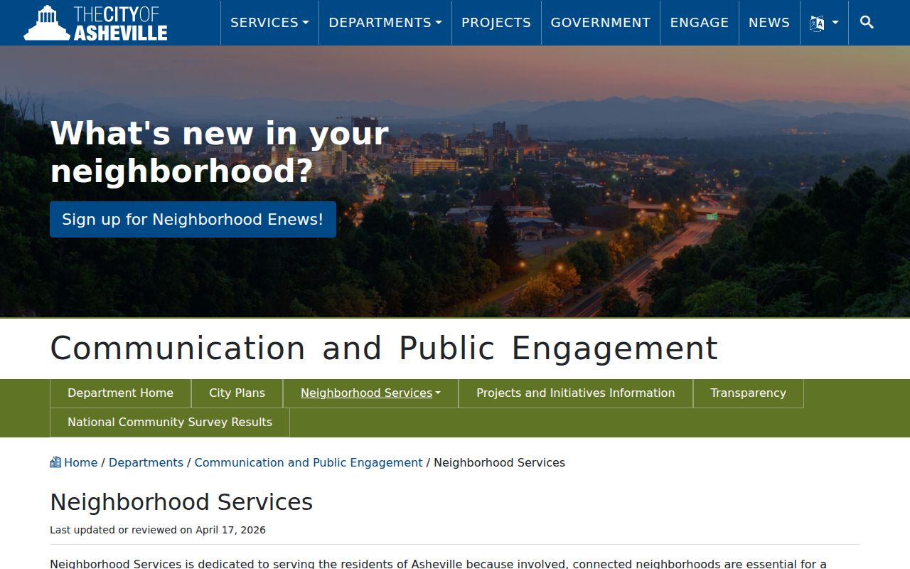
The registered map helps identify the community organization tied to an area without treating an association as a directory of every household.
Buncombe Block Public Projects
Public permit and development records can add context about a parcel, but not a roster of people nearby. Asheville's Citizen Access route can show address or PIN-based project information, including public permit activity, inspections, conditions, and attachments where available. The city says much pre-2019 permit material was not digitized, so an online absence can mean that a paper or detailed request route is needed.
For a city-held record, request the specific existing item by address, PIN, project number, or date. The city distinguishes records it holds from county or state records held elsewhere. North Carolina's Public Records Law, including G.S. 132-1 and G.S. 132-6, allows inspection of existing public records but does not require staff to create a new analysis of a block. The same boundary applies to electronic-record formats and special services under G.S. 132-6.1 and G.S. 132-6.2.
Asheville's public-records request guidance explains the city route and its distinction between existing records and new compilations.
A precise record request is more useful than a general demand for information about everyone around an address.
Note: Permit dates can establish project activity, but they do not establish ownership, residence, or a neighborhood boundary.
Buncombe Neighbor Sources Compared
Official records and commercial neighbor tools serve different purposes. A map, tax roll, deed index, voter request, or registered-neighborhood page identifies its custodian and the limits of its data. Commercial tools as a category may combine property, directory, voter, broker, and marketing feeds. They can be stale or merge people with the same name. Use the source closest to the fact that needs checking.
| Official source path | Commercial neighbor-tool category |
|---|---|
| Shows the recorded or assessed fact with a named custodian and date. | May combine feeds of different dates without a clear record custodian. |
| Separates a parcel owner, voter, permit applicant, and association contact. | May blur a name, address, and household connection into one result. |
| Offers a clerk, office, or correction route when a record is wrong. | Cannot correct the county or state record that supplied a disputed detail. |
When a result matters, verify it with Buncomap, Tax Lookup, the Register of Deeds, the Elections office, or the organization that published its public contact.
Past Buncombe Neighbors in Collections
Historic block research moves from the current map to local collections. Pack Special Collections holds Asheville city directories, newspapers, maps, oral histories, photographs, and a house-history guide. The directory collections can supply historical street and household clues, while the guide warns that early Asheville house numbers changed as new houses were built, especially before 1930. The 1883–84 directory also reports that some streets were unnamed or had imperfect location descriptions.
Search a historic street without assuming the present number will match. Compare neighboring entries, landmarks, Sanborn maps, lot or legal description, obituaries, cemetery records, and deed or plat references. Riverside Cemetery and local newspaper materials can help identify a deceased former neighbor or relative, but coverage varies. These sources explain an earlier block; they do not prove a current resident list.
Privacy Limits for Buncombe Neighbors
Public parcel data leaves many personal details out. Renters, other household members, delivery customers, and utility customers are not a parcel-roll category. North Carolina protects personally identifying utility-customer information under G.S. 132-1.14. Voter data has its own confidential fields, and the Address Confidentiality Program under Chapter 15C gives qualifying survivors a substitute address and mail-forwarding protection. A protected voter can keep the physical address from public inspection using the applicable documentation.
For an incorrect tax, voter, deed, or permit result, contact the original custodian rather than attempting to amend it through a directory. Personal safety also matters. A map address and tax owner do not create a right to enter property, follow a person, or pressure an association for private information.
Lawful use. Use Buncombe neighbor records for lawful personal research, local history, civic curiosity, or public project awareness. Do not use them to watch, harass, intimidate, or harm anyone.